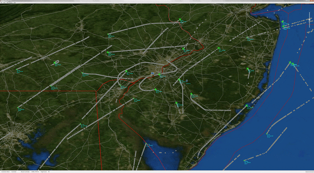
Sunhillo’s Surveillance Monitoring System (SMS) is a powerful total package solution designed for displaying disparate surveillance sources. With a fully customizable display and Geofencing, the SMS provides situational awareness to fit your requirements. Selecting any target will bring up the Target Information panel which displays important details such as the target ID, altitude, speed, and heading.
SMS is currently deployed to the US Navy, US Army, US National Guard, and an FAA UAS Test Site.
Features:
Display Target Information: Double clicking any target will bring up the Target Info Window which displays the following information: Sensor Source, Target Type, Track Number, Beacon Code, Target ID, Mode 2, Altitude, Heading, Speed, Latitude, and Longitude.
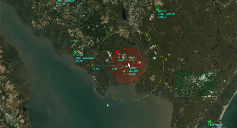
Custom Geofencing with audible alerts: An area can be added to the display map to highlight targets in a particular geographical location. Geofencing is configured by creating a polygon fence based on latitude/longitude coordinates, drawing on the map or Shape file import. Targets approaching or that enter the geofenced area can be configured to trigger an audible alert.
Recording and Playback: The SMS has the option for recording and playback. The SMS is always recording in the background and the recordings reset after 45 days.
When using dual monitor windows, one monitor can display live data while the other displays recorded data.
Custom Graphical Overlays: Overlays can be added to the SMS map to provide a different visual display of a particular geographical location without requiring an internet connection. All targets that cover the overlay follow the color configuration setup for sensors, areas, or the SMS default target color.
The SMS supports graphical overlay “stackups” with control over z-order providing varying levels of graphic detail to be stacked to correspond with areas of most interest. Geo-referenced image types such as TIF and MrSID can be generated from imagery tools to provide mission specific overlays which can be added and removed from the map as necessary.
Moving Map: An ownship can be established utilizing a moving map to track a target as it traverses across the display. Geofencing can be dedicated to the ownship and is ideally suited for Beyond Visual Line of Sight (BVLOS) unmanned operations.
Hardware:
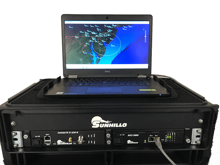
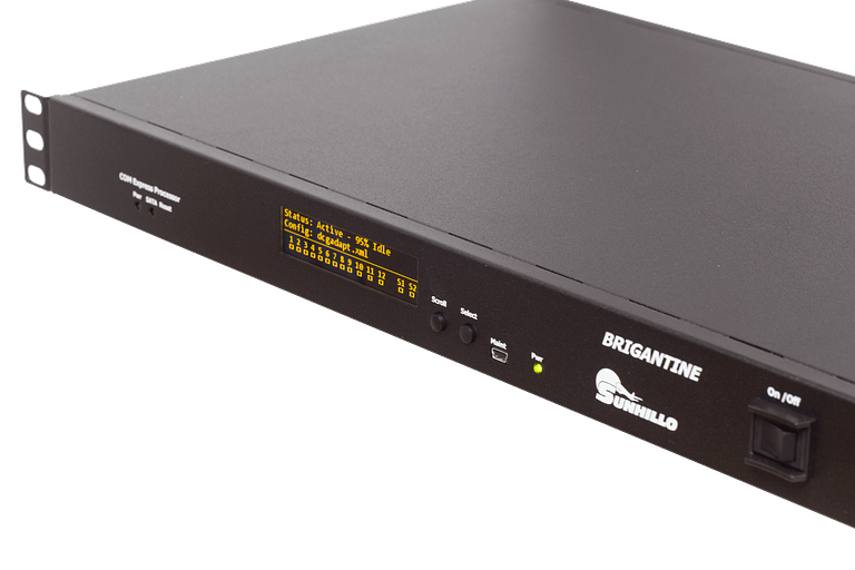
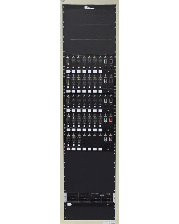
The Surveillance Monitoring System includes a complete state of the art hardware package which consists of a high definition monitor, a high powered PC, and a Sunhillo Brigantine Surveillance Gateway Processor (SGP).
